|
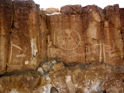
ABOVE: Petroglyphs in the Chalfant Valley, where Nico lead his workshop |
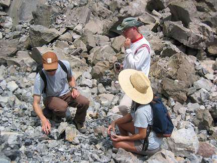
ABOVE: Rocks rocks and more rocks. The riverbed in Chalfont Valley. RIGHT: Altered by human hands or not? For me it is impossible to distinguish between natural and man-made manipulations. |
|
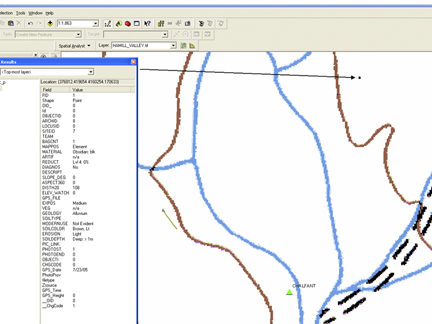
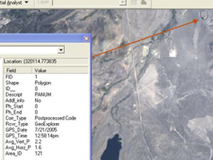
Arcpad demo at the rock art site with the DRG layer behind it. The spot out on the terrace are the obsidian flakes that Brett found. The Identify box shows the entry for that particular record. |
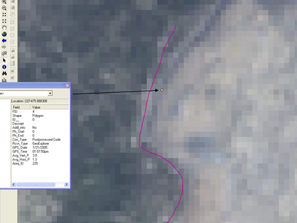
An obsidian site we visited superimposed on Landsat scene (30m res). The blob is the polygon Nico mapped running around the obsidian boulders. The Identify results show 3.9m average vertical precision after post-processing. The pink line is the polyline feature from our drive around the dome with the GPS. |
A larger view of the obsidian sources. The Panum crater is much larger than the little bit of the plug that we visited. The geology of the obsidian domes stands out. |